Drone Survey & Design

Earthworks Technology for Precision Grading

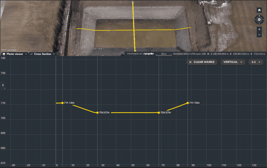
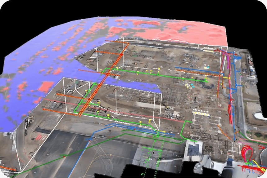
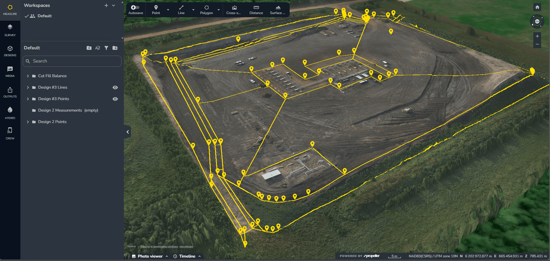
Parallel Projects utilizes Drone Survey and Design technology to deliver accuracy and efficiency across civil and industrial projects. 

For our clients, leveraging this data means reduced risk, optimized material use, and guaranteeing that the final grade and quantities can be achieved.
Accurate Estimates and Optimized Site Planning

The data from our drone surveys directly impacts the financial and logistical planning of your project. Starting with accurate data leads to significant benefits in both time and cost management.

reliable quantities and
as-builts

Our drone survey services deliver fast, accurate topographic data, volume calculations, and quantity takeoffs for earthworks and utilities. We also provide detailed as-built surveys and drawings to document completed work for records and compliance.

Incorporate Precision into Your Next Project